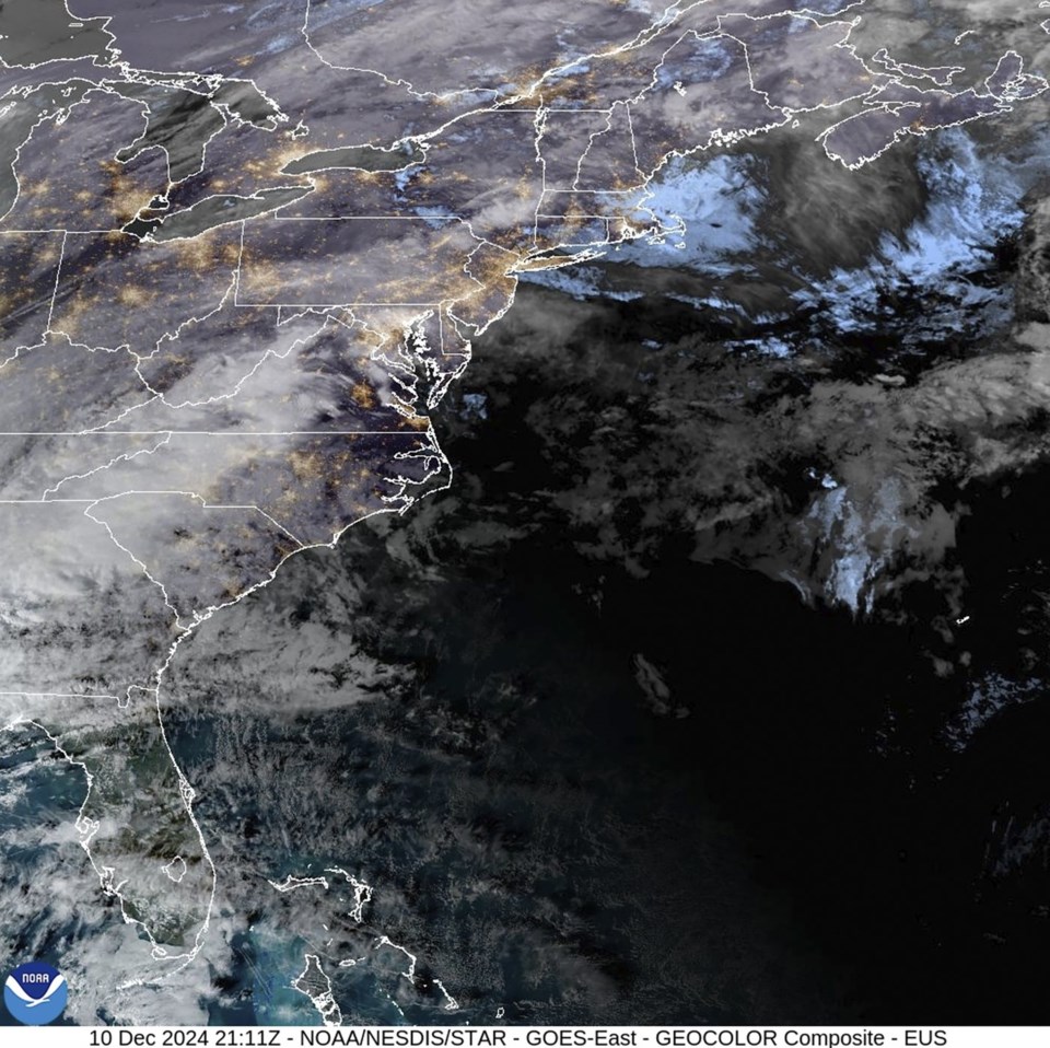
PORTLAND, Maine (AP) — The U.S. East Coast is due for a whiplash-inducing stretch of weather that will be rainy, windy and potentially dangerous, due in part to an atmospheric river and developing bomb cyclone.
The storm is expected to bring heavy rain and fierce winds to many areas from Tuesday night to Wednesday night, and flooding is possible in some locales, forecasters said. Utilities were also gearing up for potential power outages from damage caused by winds that could exceed 60 miles per hour (27 kph) in some areas.
One of the key factors driving the weather is an atmospheric river, which is a long band of water vapor that can transport moisture from the tropics to more northern areas, said Derek Schroeter, a forecaster with the National Weather Service in Gray, Maine.
The storm has the ability to hit New England hard because it could tap moisture from the Atlantic Ocean off the coast of the U.S. Southeast, and transport it to places like western Maine, which could see freezing rain, downpours, unseasonably high temperatures and damaging winds all in the span of a day, Schroeter said. The state was preparing for a “multifaceted storm” that could bring two to three inches of rainfall in some areas, Schroeter said.
Similar conditions were possible elsewhere from Tuesday night to Wednesday night.
“We're looking at the risk of slick travel (Tuesday night) with the freezing rain," Schroeter said, “and we are going to be watching for the potential for flash flooding and sharp rises on streams as temperatures rise into the 50s (10-15 Celsius).”
Forecasters also said the storm had the potential to include a process that meteorologists call bombogenesis, or a “bomb cyclone.” That is the rapid intensification of a cyclone in a short period of time, and it has the ability to bring severe rainfall.
Some parts of the Northeast were already preparing for bad weather. In Maine, some schools operated on a delay on Tuesday, which began with a few inches of snow. A flood watch for Vermont runs from Wednesday afternoon to Thursday morning.
The city of Montpelier, Vermont, was advising residents to prepare for mild flooding in the area and to elevate items in basements and low areas that are prone to flooding. The city said Tuesday that it has been in contact with the National Weather Service and Vermont Dam Safety and “will be actively monitoring the river levels as this storm passes through.”
Ski resorts around the Northeast were preparing visitors for a potentially messy day on Wednesday. Stratton Mountain Resort, in southern Vermont, posted on its website that patrons “make sure to pack your Gore-Tex gear because it’s going to be a wet one.”
___
Associated Press writer Lisa Rathke contributed to this story in Marshfield, Vermont.
Patrick Whittle, The Associated Press


