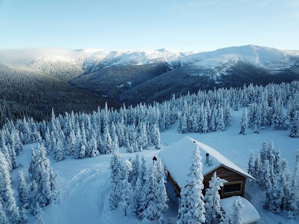
Good news if you’re planning on hitting local slopes this weekend.
Avalanche Canada is posting moderate to low ratings for mountains and backcountry areas east of Prince George, thanks to nearly 100 cm of new snow accumulated over the past week.
However, according to the service, there is still a sense of uncertainty for the North Rockies region due to the extreme variability of wind effect on snowpacks in the Pine Pass, Torpy and Renshaw zones.
“Deep in the mid-pack there may still be a layer of surface hoar buried in late December,” reads Avalanche Canada’s report.
“It's gaining strength, but should remain a concern since snowpack tests still demonstrate this layer has the potential to slide, albeit in isolated areas and/or with very large triggers.”
Over the next few days, a significant amount of new snow will see the sun for the first time. Be aware of overhead hazards that are getting hit by the sun. It's nice to see, but don't get caught out by those rays! #AvCan
— Avalanche Canada (@avalancheca) February 17, 2020
Get the forecast 👉https://t.co/JwMaRhyDrR
📷: Mark Bender pic.twitter.com/Jokyt8yLDx
The moderate concerns could switch to ‘considerable’ at the alpine level by tomorrow (Feb. 22), while treelines could remain moderately consistent.
Avalanche Canada says to avoid wind slabs at upper elevations and to stay away from cornices, which continue to naturally fail.
If you’re heading south to the Cariboo, mountains down there at a moderate rating at all three levels and will stay that way through the entire weekend.
Environment Canada is calling for some snow on Sunday (Feb. 23) with a high of 0 C.
More information on backcountry conditions and how to be prepared is available on Avalanche Canada’s website.


