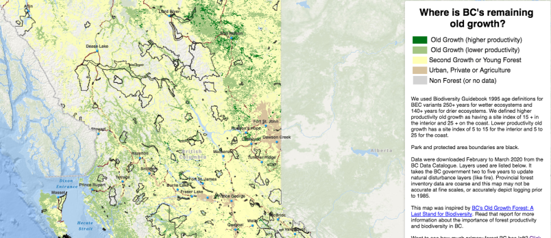
A forest-focused conservation group in northern B.C. has released both the first province-wide cumulative impacts map and the first visual account of the last remaining old-growth forests.
“They are the first tools of their kind made by the public for the public,” explains Conservation North spokesperson Jenn Matthews in a statement.
“The cumulative impacts of industrial forestry and other forms of land conversion, such as agriculture and road development, have never been displayed for public view before now, despite the fact that the vast majority are occurring on public lands.”
The interactive mapping project, dubbed Seeing Red, shows where there are opportunities to conserve primary forests, as well as where management for restoration and/or production of wood products are a better option. Both maps were created using data from the provincial and federal governments.
 Lower productivity northern B.C. forests, once ignored by the timber industry, are now targeted for biofuels. By Screenshot/Conservation North
According to Matthews, the group “wanted to show what has actually happened in those forests that most of us can’t see.”
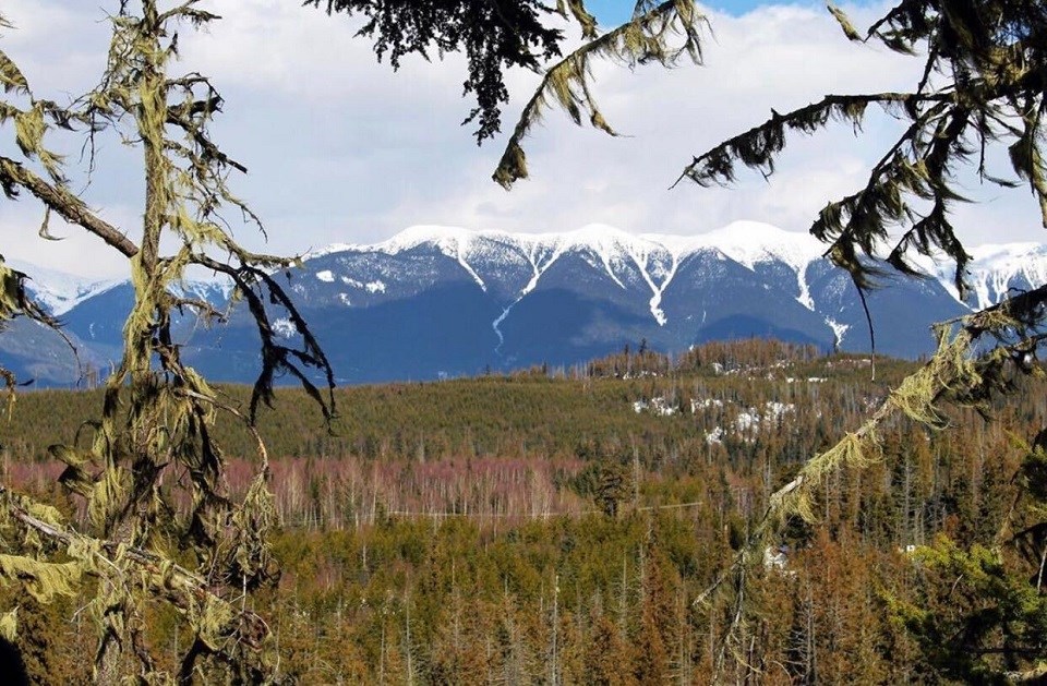
Primary forests, forests that have never been disturbed by industry and where natural processes dominate, are threatened across the province by both industrial logging and a burgeoning bioenergy industry. Lower productivity forests, once ignored by the timber industry, are now targeted for biofuels (e.g., pellets).
All natural forests are very important for wildlife, but many, particularly those impacted by fire or insects, are undervalued by industry and government, who refer to them as 'waste or inferior' to justify turning them into bioenergy and pulp.
“Insects and fire are an important part of the ecology of our last natural forests, and they survive and even thrive in the aftermath of these natural events,” adds Matthews.
“The mandate to address climate change is easily gamed, and forests have been on the losing side because of spin doctoring by corporate special interests," says Conservation North Director Michelle Connolly.
"Bioenergy from natural forests is even being sold by the Chief Forester as a climate solution. The scientific research does not agree; primary forests are in fact carbon assets whose greatest climate value is realized when they are left standing.”
The map is free and accessible to all, and the group will maintain and update it for as long as they can pay the ESRI fees.
- with files from Kyle Balzer, PrinceGeorgeMatters


