Environment Canada is warning parts of northern British Columbia to expect wind chill values as cold as -50 C for at least the rest of the week.
An extreme cold warning issued for the Peace River and Prince George regions says an arctic ridge over the province means temperatures will remain between -30 and -40 C until Sunday.
It says the frigid temperatures combined with winds of around 20 km/h will produce wind chill values as low as -50 C.
A separate warning issued for coastal and inland sections of the north and central coast says Arctic air combined with strong winds means frostbite and hypothermia can occur within minutes if precautions are not taken.
Communities, including Stewart and Terrace, are being told to prepare for wind chills of as much as -30 C starting this evening.
The warning says temperatures may warm up on Sunday, but that timing remains uncertain.
The late arrival of winter across the province this week brought with it snow, wind and storm warnings, power outages and dangerous highway conditions.
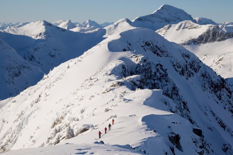
A forecaster with Avalanche Canada says British Columbia's outdoor enthusiasts shouldn't let their excitement over recent heavy snowfalls override the need for caution.
James Floyer says while some might feel the dump of snow means the "gates to Nirvana have opened" in southern and Interior B.C., it also brings a risk of avalanches for at least the next few days.
Floyer says the snow will take until at least Friday to settle and will be particularly susceptible to avalanches in the meantime.
Some areas including the backcountry around Whistler and Golden in the Kootenay region could be at risk for longer because the fresh falls are on top of a "persistent weak layer" in the snowpack.
Floyer says anyone spending time in the backcountry should keep a close eye on the avalanche forecast.
He says cold temperatures forecast for the end of the week could help lower the avalanche risk by binding snow to the mountains.
"It's absolutely a time to go out into the mountains, but it's the time to do it cautiously," Floyer said.
"Enjoy the snow, by all means, but make sure you check the avalanche forecast before you go and make sure you match terrain conditions."
This report by The Canadian Press was first published Jan. 10, 2024.
The Canadian Press


