
Environment Canada has issued an extreme cold warning for areas along the Yellowhead Highway between Tête Jaune Cache and the Alberta border due to a period of cold windchills expected tonight and through Wednesday morning.
Affected areas include:
- Puntzi Mountain
- Yellowhead Highway
- Yellowhead
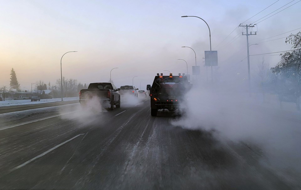
Temperatures are set to plummet in combination with light winds, creating wind chill values between -35 C and -40 C, particularly during the overnight and morning hours. These extreme conditions pose a significant risk for frostbite and other cold-related health issues.
Residents and visitors in the area are advised to watch for symptoms of cold exposure, including shortness of breath, chest pain, muscle pain and weakness, numbness, and colour changes in fingers and toes. Environment Canada warns that frostbite can develop within minutes on exposed skin under these conditions.
Winter weather safety reminders:
- Always cover exposed skin when venturing outdoors
- Be mindful that weather conditions in mountainous regions can change abruptly, leading to hazardous driving conditions
- Drivers are encouraged to check current road conditions on DriveBC and ensure their vehicles are equipped with winter tires and chains
As a precaution, pet owners are reminded that if it's too cold for people to stay outside, it’s also too cold for pets to be outdoors.
For those travelling in the region, stay updated by monitoring alerts and forecasts issued by Environment Canada.
Anyone witnessing severe weather events can report them via email at BCstorm@ec.gc.ca or use the hashtag #BCStorm on social media.
Prince George forecast
For Wednesday, Environment Canada is calling for mainly sunny skies with winds reaching up to 15 km/h. The daytime high will only reach a chilly -17 C.
Wind chill will be severe in the morning, reaching a dangerous -38 C, and it will moderate to -21 C in the afternoon. With such cold temperatures, there is a risk of frostbite, so take precautions when heading outside.
The UV index is low, registering at 1.
As the evening approaches, clouds will increase, and there is a 40 per cent chance of flurries over northern areas late in the evening and overnight. The low will dip to -24 C, with wind chill making it feel like -21 C in the evening and minus 28 C overnight. Again, frostbite risk remains a concern.
- Thursday, Feb. 6: A mix of sun and cloud is expected with a high of -16 C. The night will be clear and cold, with temperatures dropping to -23 C.
- Friday, Feb. 7: The day will be sunny with a high of -14 C. The night will remain clear, cooling to -21 C.
- Saturday, Feb. 8: A mix of sun and cloud will persist, with a high of -12 C. Cloudy periods will dominate at night, and the low will drop to -22 C.
- Sunday, Feb. 9: Similar conditions to Saturday, with a mix of sun and cloud and a high of -13 C. Cloudy periods will continue through the night, bringing temperatures down to -22 C.
- Monday, Feb. 10: The forecast for Monday calls for a mix of sun and cloud with a high of -12 C.


