A study of Fraser Lake, west of Prince George, has found that its natural shorelines are receding.
The re-survey of Fraser Lake’s foreshore was undertaken in 2023 by Living Lakes Canada in response to concerns about shoreline development affecting critical fish and wildlife habitats,
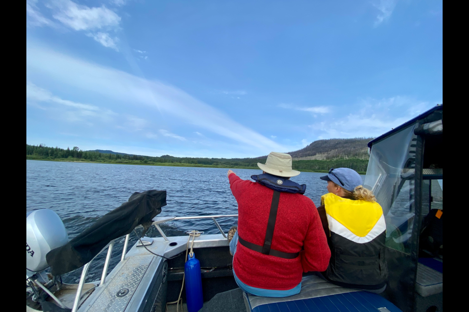
This survey used a federally developed protocol known as Foreshore Integrated Management Planning (FIMP), employing boats, GPS, and drone technology to gather comprehensive data on the foreshore. This re-survey aimed to update the 2011 Foreshore Inventory and Mapping data and assess changes over the past 12 years.
The lake, located in the Regional District of Bulkley-Nechako, is celebrated for its rich fishing and recreational activities, as well as its diverse biodiversity. It supports endangered Nechako white sturgeon, spawning sockeye and Chinook salmon, migrating waterfowl, and is a crucial wintering ground for trumpeter swans.
FIMP issued a press release Friday calling attention to the issue and sharing the study's findings.
“Protecting foreshore habitat in Fraser Lake will help conserve the lake’s ecological and cultural values, as well as endangered and at-risk species,” said Georgia Peck, FIMP manager with Living Lakes Canada, emphasizing that the re-survey provided valuable insights into habitat loss, development pressures, climate change impacts, and shoreline alterations.
The foreshore, which stretches between the low and high water marks along the lake, is crucial economically, culturally, and ecologically. It supports around 90% of the lake's biodiversity at various life stages and contains Indigenous archaeological and culturally significant sites.
The survey revealed that 35 per cent of the 70.9 kilometres of shoreline is currently disturbed, a 2.6 per cent increase (about 1,859 meters) since the 2011 survey. This indicates an average annual increase of 155 meters, or 0.2 per cent of the shoreline. Peck pointed out that while this rate of change may seem small, it represents a significant loss given the total shoreline length.
Recent shoreline development, including activities beyond the Regional District of Bulkley-Nechako's setbacks and below the high water mark, is harming sensitive ecosystems and reducing habitat value, particularly in residential and rural areas. Development pressures such as retaining walls, beach clearing, docks, buildings, and boat launches, along with impacts from the CN railway line, have contributed to these disturbances. Currently, 65 per cent of the shoreline remains in a natural state.
The FIMP report includes 16 lake-specific, evidence-based recommendations for protecting sensitive habitats around Fraser Lake. With climate change exacerbating extreme weather events and natural hazards — such as heavy rainfall, storms, flooding, and wildfires — these findings are crucial for local climate adaptation efforts. The recommendations also focus on identifying vulnerable foreshore environments and strategies to mitigate these impacts.
The FIMP process also recognized the importance of integrating cultural knowledge and engaging with Indigenous Peoples.
Peck expressed gratitude to the Stellat’en First Nation and Nadleh Whut’en First Nation for their contributions to the survey and report, saying their input was integral to the field survey and the review of the report and maps.
The results of the 2023 Fraser Lake FIMP survey, including reports and maps, can be found on the Water Hub. The Fraser Lake Foreshore Development Guidelines offer valuable, evidence-based insights on habitat quality and development for government, First Nations, stewardship groups, and property owners.
This project was funded in part by CN Rail, the Province of BC, the Regional District of Bulkley-Nechako, the Cook-Rees Memorial Fund and the Nechako Environment and Water Stewardship Society (NEWSS).
To explore the findings for other lakes surveyed, visit the main FIMP page. To learn more about the program, visit https://livinglakescanada.ca/fimp.


