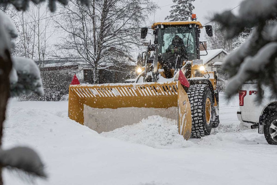
This past month was slightly colder and ended quite a bit snowier than most Prince George Novembers in recent memory.
November certainly went out with a big white bang, leaving behind all those piles of snow that made for tough slogging for city residents who had to shovel or it or drive through it this past weekend.
Skiers, snowboarders and tobogganers flocked to the snow-covered hills when close to 22 centimetres fell on the city this past weekend, in sharp contrast to the previous two Novembers when there was only a trace of the white stuff this time of year.
By Sunday, the Caledonia Nordic Ski Club has already plowed its parking lots at Otway Nordic Centre three times, the entire season equivalent in 2023-24.
According to Environment Canada meteorologist Armel Castellan, the actual amounts that fell on the weekend are difficult to ascertain because the Prince George weather station data supplied by Nav Canada measures the amounts that settle on the ground.
From Thursday to the end of the day Saturday, Castellan said a minimum of 22 centimetres fell on the city, which boosted the monthly average precipitation above normal.
“From a precipitation point of view, so snow and rain, you had 50.9 millimetres of liquid equivalent and the average is 55.3, so 92 per cent, which is quite normal,” said Castellan.
“Just to the south, for a bit of context, Quesnel was at 73 per cent (of normal) and Williams Lake was 32 per cent. It was the fifth-driest on record in Williams Lake.”
There were 10 snow days in the month in which measurable amounts collected on the ground and that started collecting right around mid-month on Nov. 16.
Meteorologists consider fall to be the three-month period from start of September to the end of November and during that time, boosted by a rainy September, Prince George had 172.5 mm of precipitation, which is 99.6 per cent of the normal 173.1 mm.
On the extreme ends of the scale, the wettest September-November happened in 1934, when 281 mm fell and the driest fall was in 1916, when just 68.6 mm was recorded in PG.
After two consecutive years of drought that dropped river levels in the region close to all-time lows, that wet fall season bodes well for farmers who have struggled in recent years to grow sufficient crops to feed their livestock and had to import hay from other parts of the province.
“Snow is helpful but not as helpful as rain when it comes to drought mitigation,” said Castellan. “We need the soil to get wet, and to get those wet pulses before it snows.”
In Prince George, November wasn’t all that much colder than normal.
The average mean temperature for the month was -3.2 C, eight-tenths of a degree cooler than the -2.5 C historical average, which dates back to 1916.
The warmest November on record was 5.6 C in 1917, eight degrees warmer than this year. The coldest was in 1985 when the average temperature was -15.4 C.
Castellan says temperatures in the city will be considerably milder over the next 10 days, with single-digit highs most days – well above the average high/low of -3 C/-10C for this time of year.
“Right now you’ve got strong gusts from the south, which is bringing the temperature up, which is at least sheltering you from freezing rain, which is not the case in Fort St. James and further west along Highway 16 as well as into the Peace country,” said Castellan.
The warmest day in November happened on Nov. 7 when it hit 10.1 C, and the coldest day was Nov. 24 (-20.4 C), when close to 10 cm of snow fell on the city.
Long-range models are predicting near normal temperatures for most of BC for early winter. But Castellan says the ocean temperatures in the eastern Pacific are close to four degrees cooler than the western Pacific and that, coupled with the La Nina conditions (cooler-than-normal equatorial Pacific temperatures) this year, could mean colder-than-normal conditions in late-January and February for much of the province.


