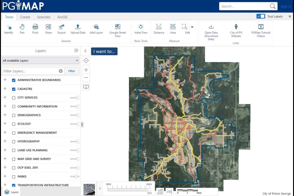
"Maps & Access to Information" is just one of the many clickable options at the City of Prince George website.
But don’t let the unassuming name fool you.
Hit the PGMap icon under that tab and a wealth of knowledge and useful online tools are just a click away.
The city's mapping service, PGMap, lets you see everything from administrative boundaries to zoning information and can even drill down to your own personal property details, including property line estimates. Just remember that they are not in any way a legal representation of surveyed property lines but rather offer a guideline, usually within about three feet.
There is a disclaimer you need to read before exploring the site because it’s not a legal representation and it’s always best to get your legal plan before doing anything on your property, and even get a surveyor involved just to be sure.
“The search panel is the best tool because you can use words, or a property identification number (PID), an address and it also recognizes street intersections, landmarks like the courthouse or a school, parks and things like that,” said Laura McKersie, geographic information systems (GIS) analyst for the city.
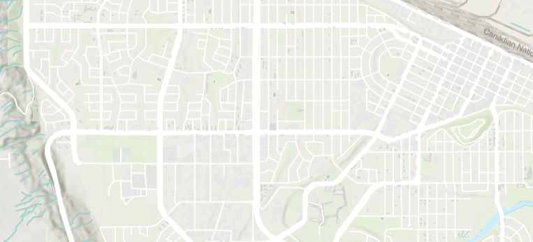
There are options that can move you from a base map to orthophotos, which are actual aerial pictures of the property that also include a slider to take the viewer as far back as 1993.
There is also the hill shade version, based on Lidar data, (Light Detection and Ranging) that offers elevation changes.
“PGMap has, I think, over 120 layers, so they are GIS maintained layers that we can provide to the public with the most up-to-date information to do comparisons without having to go anywhere else,” McKersie said.
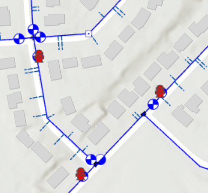
The geographic information systems includes spatial data of points, lines, polygons, raster images – the raster are images and are grid based – spatial data information that can be tied to the ground and that information is what the city inventories whether it is on the ground or under the ground and all that information is shown in PGMap, McKersie explained.
“And this is all made available for people to view,” she added.
There are several categories that encompass the many data layers that are grouped for ease of use.
Cadastral information includes property boundaries, subdivision lines, buildings, utilities and even incumbrances like a right of way.
If it’s things like zoning you’re looking into, click on the land use planning to see agricultural land reserve, zoning bylaws, community forests, home business overlay, Lheidli T’enneh Lands and even UNBC Reserve Lands.
“If we look at the zoning bylaws, we’ve done some really great stuff in PG Map as we’ve added some hyperlinks for people, so they can click on the hyperlink and it jumps right to that bylaw so we don’t have to go anywhere else,” McKersie said about the comprehensive level of the website.
“This is a tool made for both city staff and the public users. They have access to all of this information with as much ease of use as possible which is readily available in PGMap.”
Knowing this useful tool might look daunting on the outset, McKersie and her team have created the PGMap tool bar.
“One of the great tools we have is Google Street Map that offers the visual of any street that allows one more bit of information for the user,” McKersie said.
“The nice thing too is there is a distance and area calculation tool.”
It’s as simple as a click away - click on your starting point, double click on the end point and it will offer the distance between the two points.
“Again, these are not legal representations, they are only estimations, but it gives you a rough idea,” McKersie.
“We encourage people to explore the site and to help with that we’ve added some PGMap tutorials. We’ve provided an overview of PGMap and how to use it and we’ve explained the layers window and how to navigate through all of that as well as the advanced tool bar which takes users through each of the tabs along the toolbar. So this is another way to help the public.”
And that’s not all, there is a big upgrade taking place in 2025.
“We’re taking it to the next level with more advancements that the software has made,” McKersie said.
“It may look a little different next year but it’s still the same powerful tool, providing the public with even more information.”


