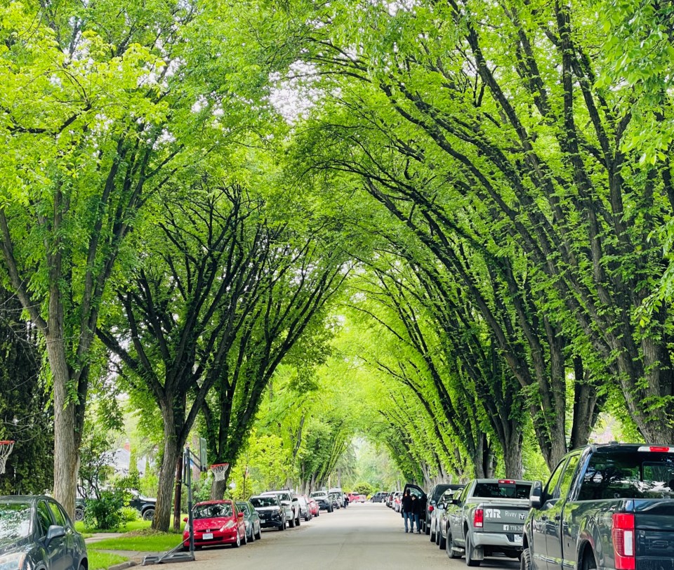
The summer solstice happens Thursday at 1:50 p.m. and the longest day of the year in Prince George is going to be a warm one.
It appears there’s nothing but sunny skies and above-average temperatures in the weather forecast for the next three days.
A high of 19C was expected Tuesday with small risk of showers but not enough to out a damper on outdoor activities the rest of the day.
On Wednesday you might want to reach for your hat and sunscreen with nothing but sunshine and a high of 23 C.
It should be even warmer on Thursday, the first with a forecast high of 24 C and Friday could be the hottest day of the year so far with the high-reaching 27 C.
But don’t get too used to it. It’s not expected to last. Environment Canada meteorologist Brian Proctor says a cold front is going to move into the city Saturday which will bring cloudy skies most of the day and the possibility of evening thundershowers, with more rain expected on Sunday.
“We’ve had a cool spring with only two bouts of above-normal temperatures in Prince George since April,” said Proctor. “It’s been quite unsettled in May and June. You’ve had 68.2 millimetres of rain in June in Prince George. Typically for the month it’s about 44 mm and you’ve still got two weeks to go in the month.”
Saturday’s high of 23 C is still above the average (20 C) and it will also be warm on Sunday with a high of 22 C. There’s a 60 per cent chance of showers Sunday, dropping to 40 per cent on Monday with a forecast high of 19 C.
All the rain and cool temperatures that slowed melting of the snowpack have helped improve drought conditions that reached Level 4 through much of the region over the past year. That’s kept wildfire activity to a minimum over much of the province, with the exception of the Fort Nelson region and the fires at the start of May that burned thousands of hectares on land and forced evacuations.
Around Prince George, the Upper Fraser West watershed remains in Level 3 drought conditions on the scale from 0-5. Level 3 means adverse impacts to socio-economic or ecosystem values are possible.
East of the city, the Upper Fraser East watershed has dropped to Level 2, which means adverse effects are unlikely. The warmer weather this week will increase snowpack melting and river/stream flows.
The Finlay watershed to the north, which includes Mackenzie, is experiencing Level 1 drought and the likelihood of adverse effects is considered rare.
In northeast B.C., Fort Nelson and South Peace is experiencing Level 4 drought, while East Peace to the Alberta border is maxed out at Level 5.
The long-range forecast models are calling for average or above-average precipitation for the next few months for much of the province and Proctor says that will help grow hay crops for farmers and ranchers who suffered through two consecutive unproductive growing seasons plagued by hot and dry weather.
On Thursday in Prince George, the sun will rise at 4:38 a.m. and sunset will follow at 9:46 p.m.


