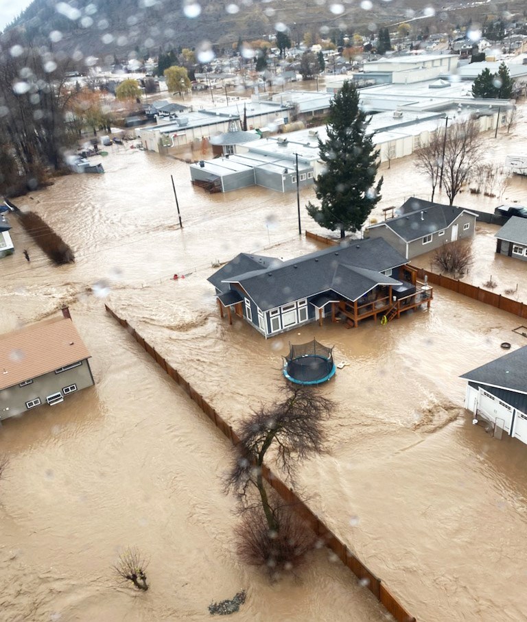
B.C.’s changing climate and the need to identify risks posed by natural hazards and climate-related disasters are the subjects of a million-dollar study undertaken by the Regional District of Fraser-Fort George.
The regional district announced Tuesday it has received $1.05 million in provincial funding through the Union of BC Municipalities Disaster Risk Reduction-Climate Adaptation program, which aims to enhance the resilience of local governments, First Nations and communities to respond to emergencies.
District staff will partner in the study with the municipalities of Prince George, Mackenzie, McBride and Valemount, as well as the Lheidli T’enneh First Nation and McLeod Lake Indian Band.
The study will provide a better understanding of natural hazards in the region and what, if anything, can be done to mitigate those risks and support emergency event responses.
The first phase will focus on risk mapping, assessments and planning to determine where flood and steep creek geohazards such as debris flow and landslides exist and how susceptible those hazards are to climate change.
In the second phase, flood hazard mapping will be completed after engaging with First Nations to incorporate their traditional knowledge about geohazards and place-based Indigenous understanding of risk priorities.
“This information is going to help us identify those high-risk areas and then we will use this information moving forward for land-use planning, for building inspections and for emergency management preparedness information,” said Kenna Jonkman, general manager, development services.
The district covers an area of 50,000 square kilometres bordered by Hixon to the south, Powder King Ski Resort to the north, BC-Alberta border to the east and Cluculz/Bednesti Lake to the west.
Jonkman said fire risk assessment is not part of the this hazard study.
Work on the study will begin in early September and is to be competed by July 2025.


