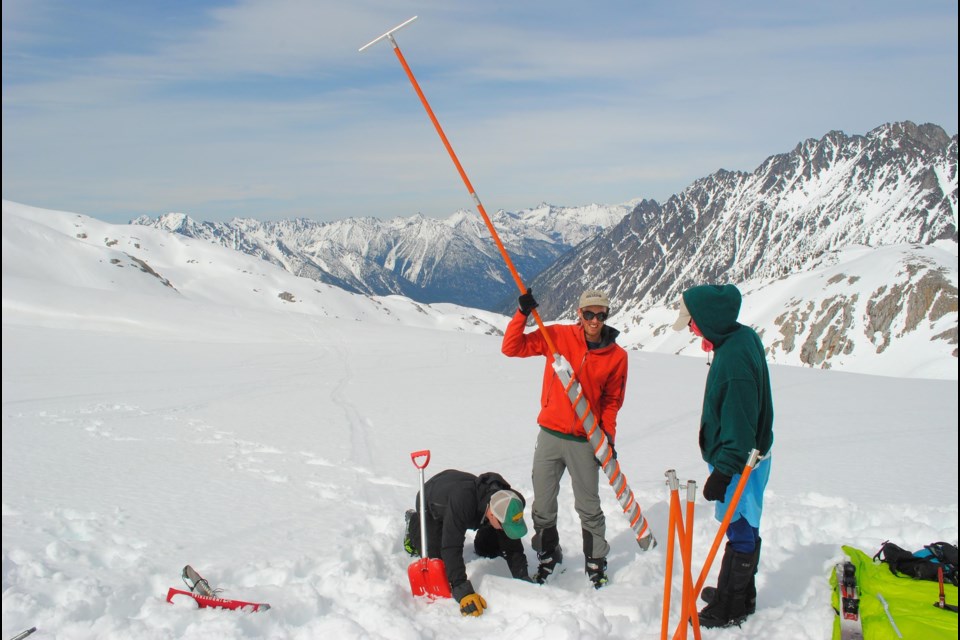
For Ben Pelto, glaciers have become a second home.
The PhD candidate in the geography program at the University of Northern British Columbia led a team that has spent close to 250 days in the field measuring the growth and contraction of six glaciers in the Columbia River basin.
Over 11 seasons, the team of 40 volunteers visited the glaciers twice per year to gauge winter snowfall and summer snow and ice melt.
They also used an airborne laser scanner to produce detailed maps, and captured 100 glaciers per season.
The Pelto team's estimates of glacier mass change from both the aerial surveying and field measurements aligned with the results, revealing that this type of study can be scaled up to a larger glacier sample.
"We are providing the first large dataset of seasonal glacier mass change for the Canadian Columbia River basin," Pelto said. "These estimates are valuable as calibration and validation data for glacier models, better allowing us to predict future glacier response to climate change and runoff from these glaciers as they continue to shrink."
The Columbia River basin receives runoff from 2,200 glaciers, yet estimates of their changes were unmeasured until now, according to Pelto.
"Knowing how much glaciers contribute to streamflow today is important for understanding how the ecosystems they support, and services they provide, will fare when the glaciers are gone or greatly reduced in size," he said.
The study builds on an earlier research project led by Pelto's PhD supervisor, Brian Menounos, who is a UNBC geography professor and Canada Research Chair in Glacier Change.
That study, released in January of 2019 in Geophysical Research Letters, used satellite images over the past 20 years to track glacier mass change in Western North America.
The results of the Pelto team's field study were recently published online in The Cryosphere, an interactive open-access journal of the European Geosciences Union.


