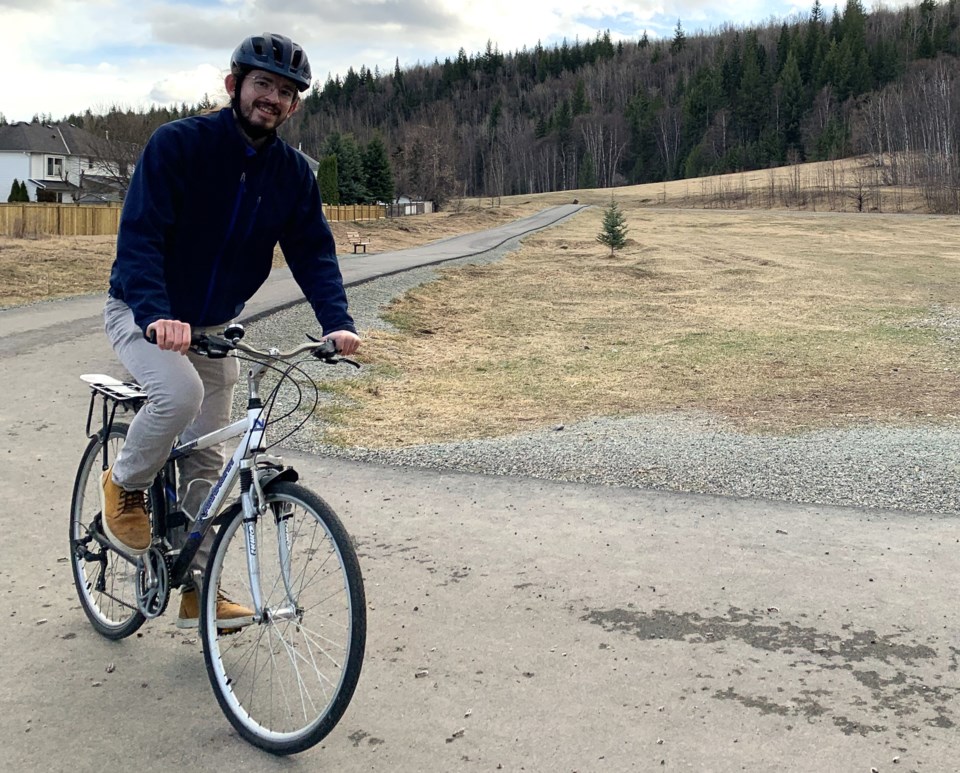
UNBC planning student Kyle Ross says it wouldn’t take much effort to make Prince George more friendly to bike traffic, and also won’t break the bank.
Grants are available to help pay the cost of building bike lanes separated from roadways by physical barriers, and he says with the price of gasoline continuing to skyrocket and more people riding electric bikes and scooters to get around the city, the need for safer bike lane networks that connect the bowl area to the downtown core has never been greater.
To raise awareness of the strengths and deficiencies of the current bike lane network in Prince George, Ross is joining forces with the Prince George Cycling Club to organize a group ride Saturday April 20, which started at the Massey Avenue entrance to Ginter’s Field.
The 90-minute ride ended downtown at Zoe’s Java House on Fourth Avenue.
“It will show off both the positives and negatives of cycling in Prince George to get a better picture because some people might not see that perspective of someone being vulnerable on the roadside when they’re driving past,” said Ross.
“I wanted to organize a group ride to hopefully bring some comfort to people who are not as experienced in cycling and to also show off what these issues are with bike infrastructure. The route I chose hopefully contains all the elements of what can be improved and what is already great about the Prince George cycling experience.”
Ross, 24, has just completed his third semester in the rural and community planning program at UNBC. His first-semester research project focused on how bike transportation infrastructure can reduce carbon emissions, which in Prince George are 52 per cent transportation-related, and highlighted the fact the city has not made achieving those reductions a priority.
Painted bike lines and signage to indicate bike routes are not enough. Vertical barriers to separate car traffic from bikes is what the city needs, Ross said, especially along the main routes such as Fifth Avenue, 15th Avenue, Ospika Boulevard, Massey Drive/Winnipeg Street and Ferry Avenue/Queensway.
Ross presented some of his ideas he envisions for bike infrastructure last summer at a city council meeting, following up on an April 2023 petition he posted on change.org that drew 852 signatures. He also expressed his ideas in his Future of Getting Around podcast.
He’s hoping city planners will take advantage of programs such as the BC Active Transportation Infrastructure Grants Program, which will pay 50 per cent of a project up to $500,00; the Government of Canada’s Active Transportation Fund, which covers 60 per cent of project up to $50 million; and the Green Municipal Fund, a one-time grant to pay 50 per cent of eligible costs up to $175,000.
“I found a system used in Metro Vancouver that's based on the one in Calgary that was a rapid implementation of bicycle infrastructure and I thought if they were able to secure funding for this they would be able to build something relatively quickly that’s easily adjustable,” said Ross.
“It’s not quite permanent infrastructure, it’s built out of flexible plastic posts and concrete barriers… vertical separation, so you build it up first and then gather feedback. Once you’ve gathered the feedback you can either change it, remove it or make it permanent, so that your permanent solution isn’t just something you built but doesn’t attend to the needs of the community.”
The province introduced legislation this month to protect vulnerable road users, which requires motorists to allow at least one metre of separation when passing a cyclist on city streets and at least a 1.5 m gap when passing on a roadway where the posted speed limit is greater than 50 kilometres per hour. Ross said one in 17 passing events in the city are within one metre and he hopes the new legislation will educate motorists.
Ross has had too many close calls riding on city streets and he says Cowart Road which leads up Peden Hill into College Heights is particularly dangerous due to blind spots and narrowing of the shoulder of the road at several points.
He would like to see vertical separation or some kind of physical barrier for bike lanes in all school zones, so kids won’t feel so intimidated riding to school.
He’s also pushing for better integration of bike routes with off-road trails like the Heritage River Trails network. For example, there’s a gap through the residential area between Cottonwood Island Park and Lheidli T’enneh Memorial Park he’d like to see better connected.
“Good cycling infrastructure is not a new concept, it’s been well done before and there are countless examples all throughout Canada and the world of good integration of cycling infrastructure,” said Ross. “So all they need to do is look and see and they don’t need to reinvent the wheel.”
Riders aged 18 and older who want to participate in the group ride are being encouraged to register online.


