
This week's hike to Sugarbowl is a Prince George favorite and is usually one of the first hikes that people new to the region attempt. This trail is one of the closest and easily accessible trails to Prince George that ascends to the alpine. The effortless part of the trip ends at the trailhead as the strenuous trail quickly ascends steeply through an old-growth cedar forest. This hike is also a perfect one to do a second time when your hiking legs have developed as you can appreciate the views and scenery without worrying about when your next rest break will occur.
Directions
From the Yellowhead Bridge in Prince George, drive 79 km east on Highway 16. Turn right into the Sugarbowl Trail parking lot.
Trail Description
The trailhead parking lot is located just off the south side of Highway 16. Watch for a trail sign at the entrance to the parking lot. The trail leaves the south end of the parking lot. The trail is well marked and well travelled all the way to the peak. Orange trail and km markers are attached to trees along the trail. The trail climbs gently through a cedar and hemlock forest for the first 1.0 km. The following 2.5 km to the ridge top is very steep. About 0.5 km from the ridge top, there are good views of some very steep cliffs to the east. The trail heads east and south from here to the ridge top.
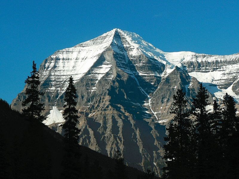
There are good views of the Fraser River Valley from the ridge. On the ridge, the trail heads in a southeast direction for 1 km. From this side of the ridge, there are views of the Bowron River Valley. The peak of Sugarbowl Mountain comes into view to the east and gives an idea of the final destination. The trail briefly descends into a gully before making the final 1.0 km ascent to the peak. This final section climbs above the treeline to over 6000 ft. There are great views in all directions from the peak. There is a small lake on the southwest side.
For more information on this hike and others in this area, including airphotos, maps, GPS coordinates and trail photos, refer to the book Hiking North Central BC which is available at local bookstores.


